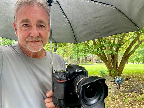
Post by Jack McIntyre
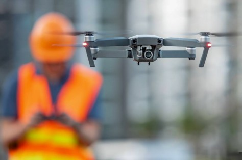
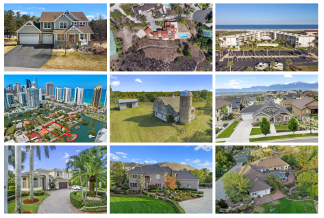
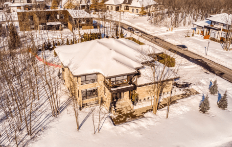
In today’s fast-moving real estate market, realtors and construction companies, and other types of companies with properties & assets in general succeed by working smarter—not harder—and that means trusting specialists to do what they do best. Partnering with a professional real estate photographer for property photos, drone imagery, and post-shoot editing ensures listings are captured with the quality, consistency, and visual impact needed to stand out. Instead of spending valuable hours trying to shoot and edit media themselves, agents and builders can stay focused on higher-value priorities like client relationships, negotiations, project management, and closing deals. Professional imagery not only elevates marketing and attracts more serious buyers, it also frees up time and energy where it matters most—growing the business and delivering a better overall experience for clients.
If you ever need photography services for a home or construction site, scheduled or immediate, email me at tourdesignmedia@gmail.com or call / text 610-636-5848. I will ALWAYS get back to you within minutes.


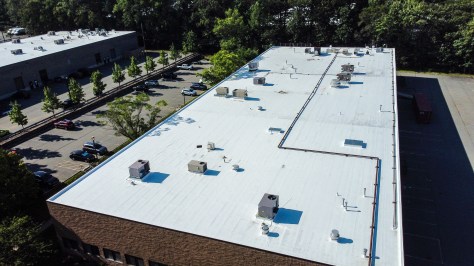

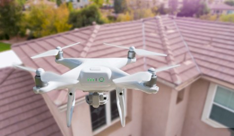
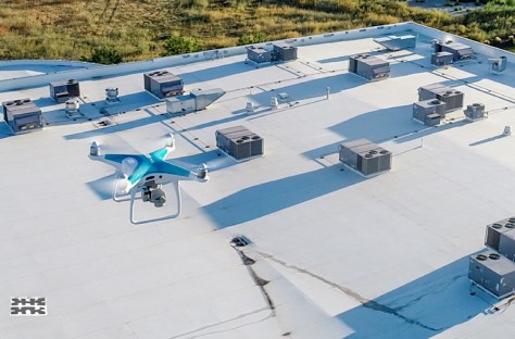
 Enhanced Safety: No ladders, no risk—drones eliminate the need for climbing or sending inspectors onto roofs.
 Fast Turnaround: We can complete inspections in a fraction of the time of manual methods.
 High Accuracy: Crystal-clear aerial photos and videos help pinpoint issues that might be missed from the ground.
 Professional Reports: Get organized visual images for insurance claims, maintenance plans, or real estate listings.