Category Archives: AERIAL PHOTOS

WHEN A CITY SHINES… IT SHINES FOR THE WORLD TO SEE.

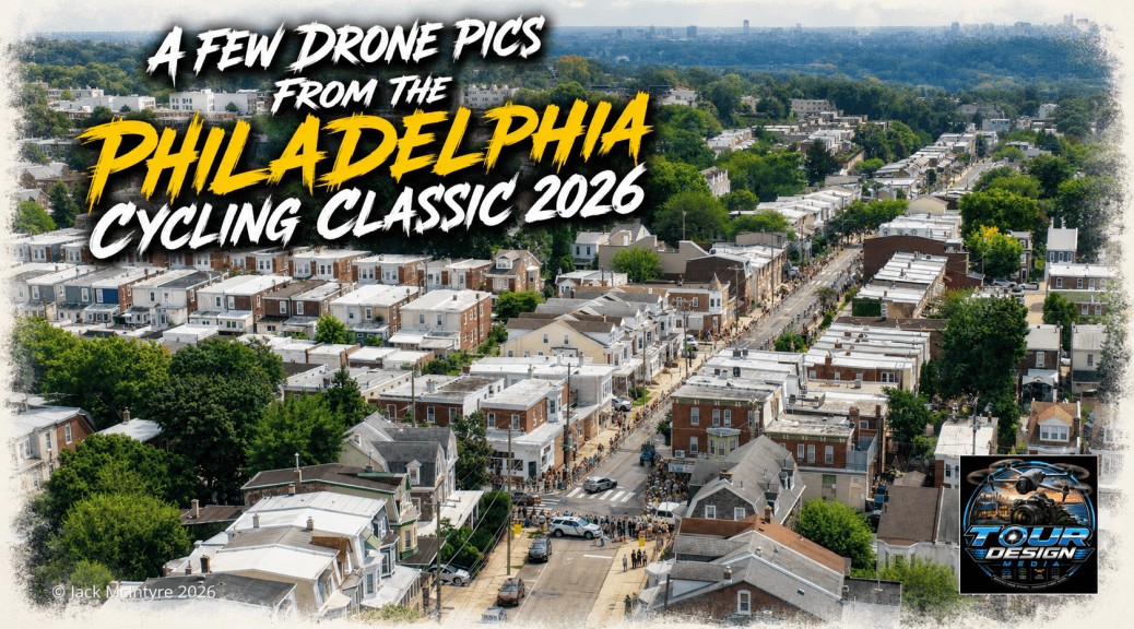
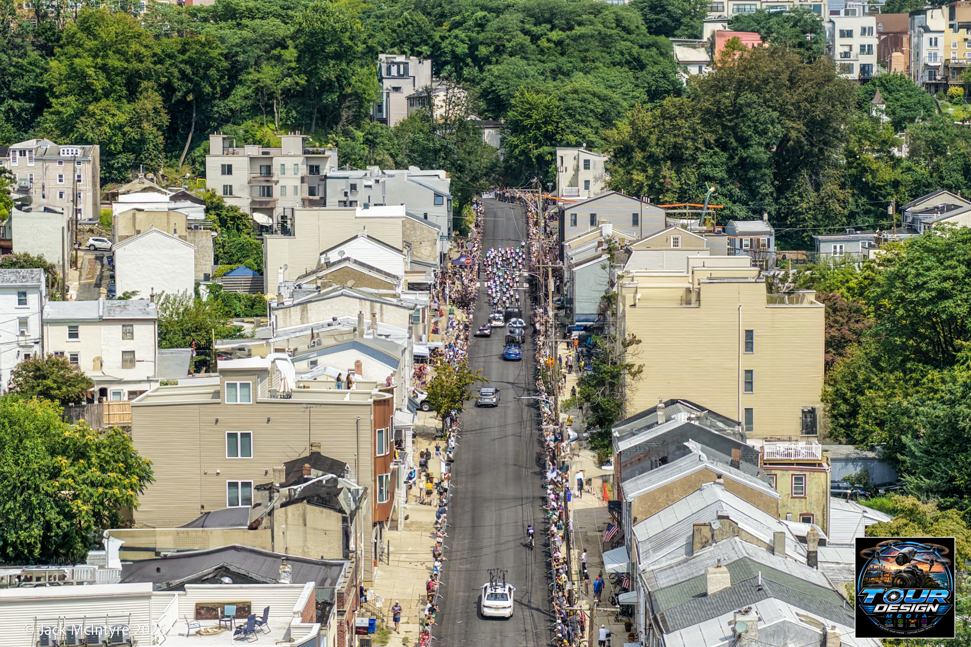
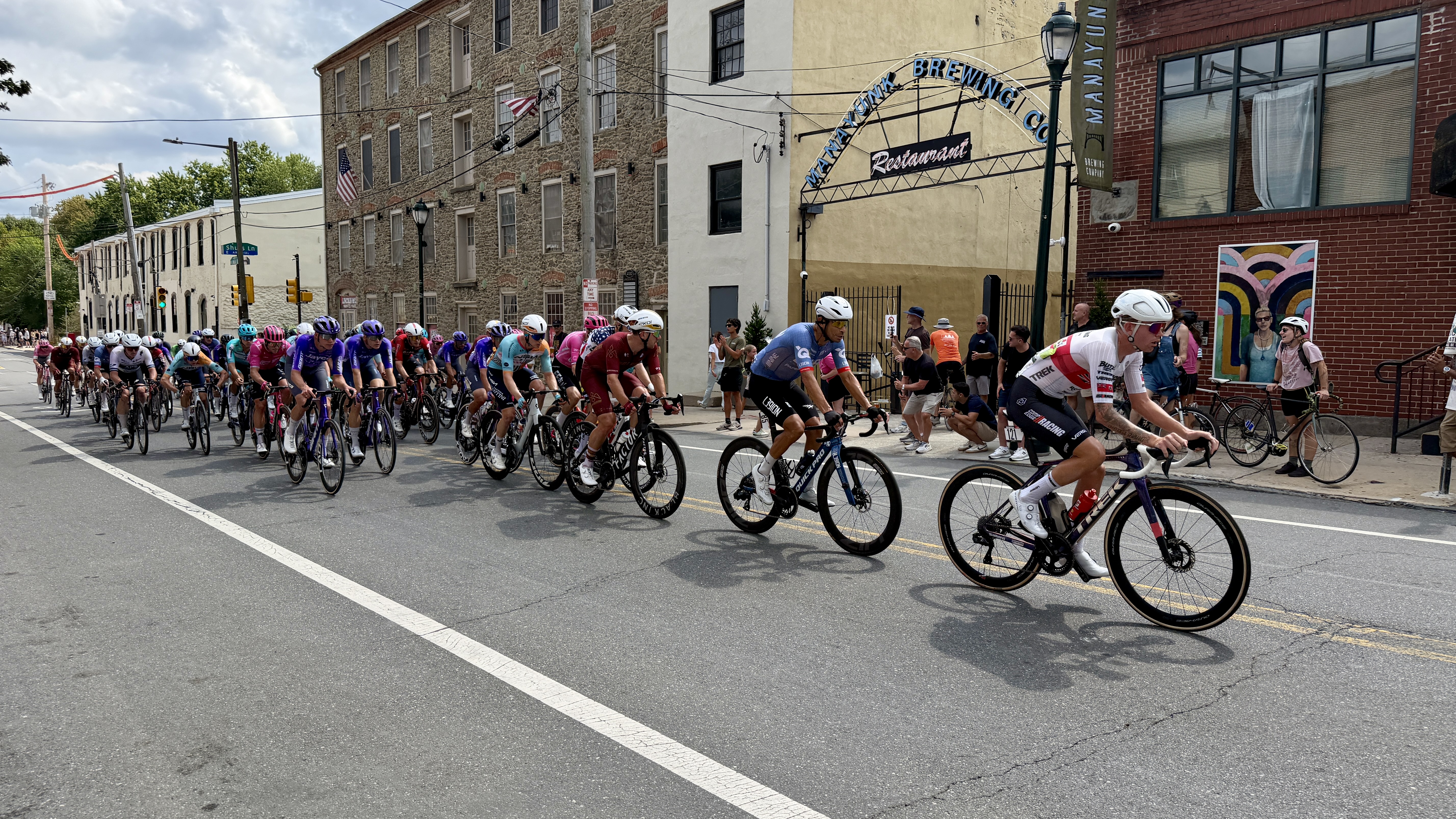
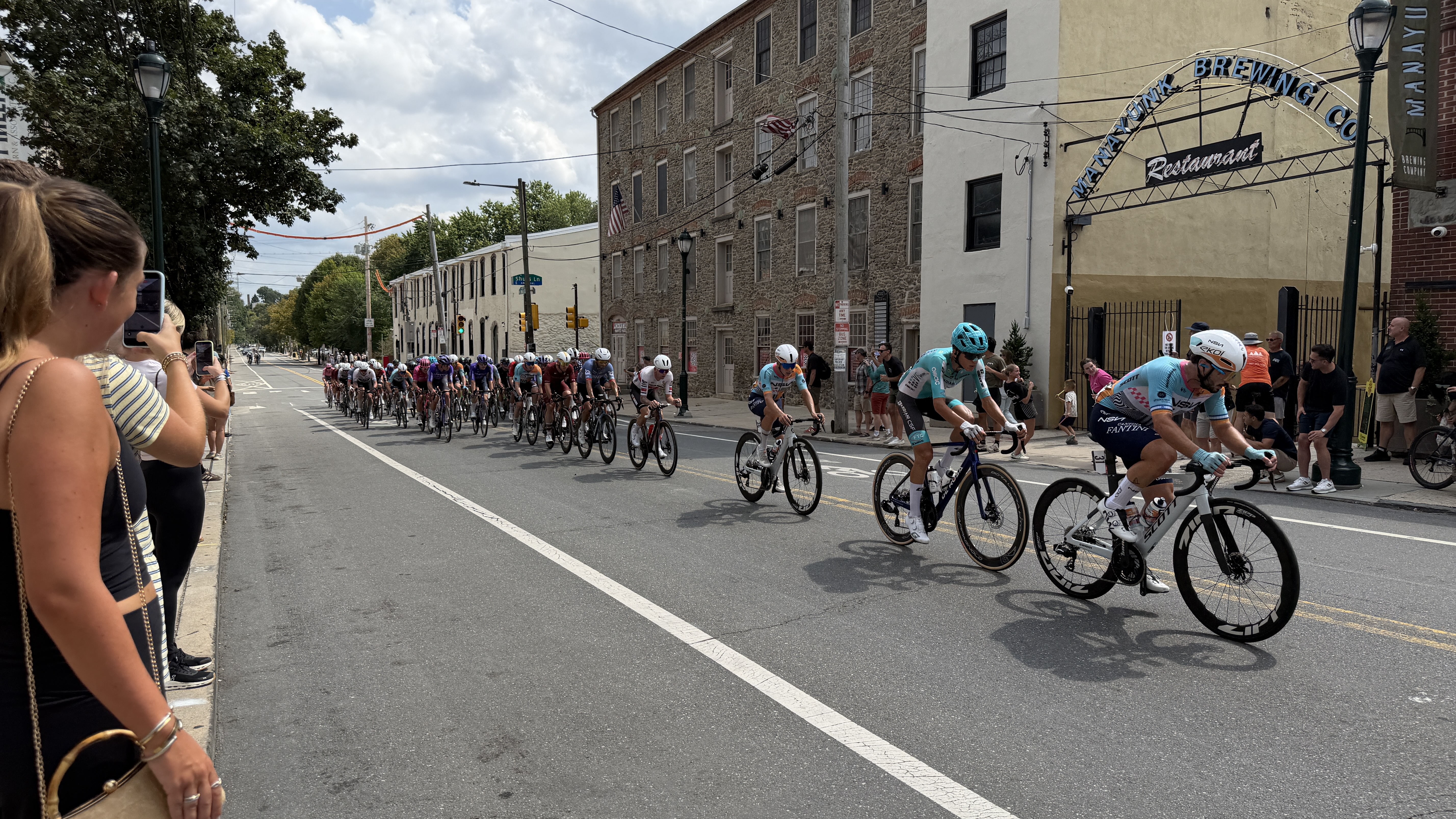
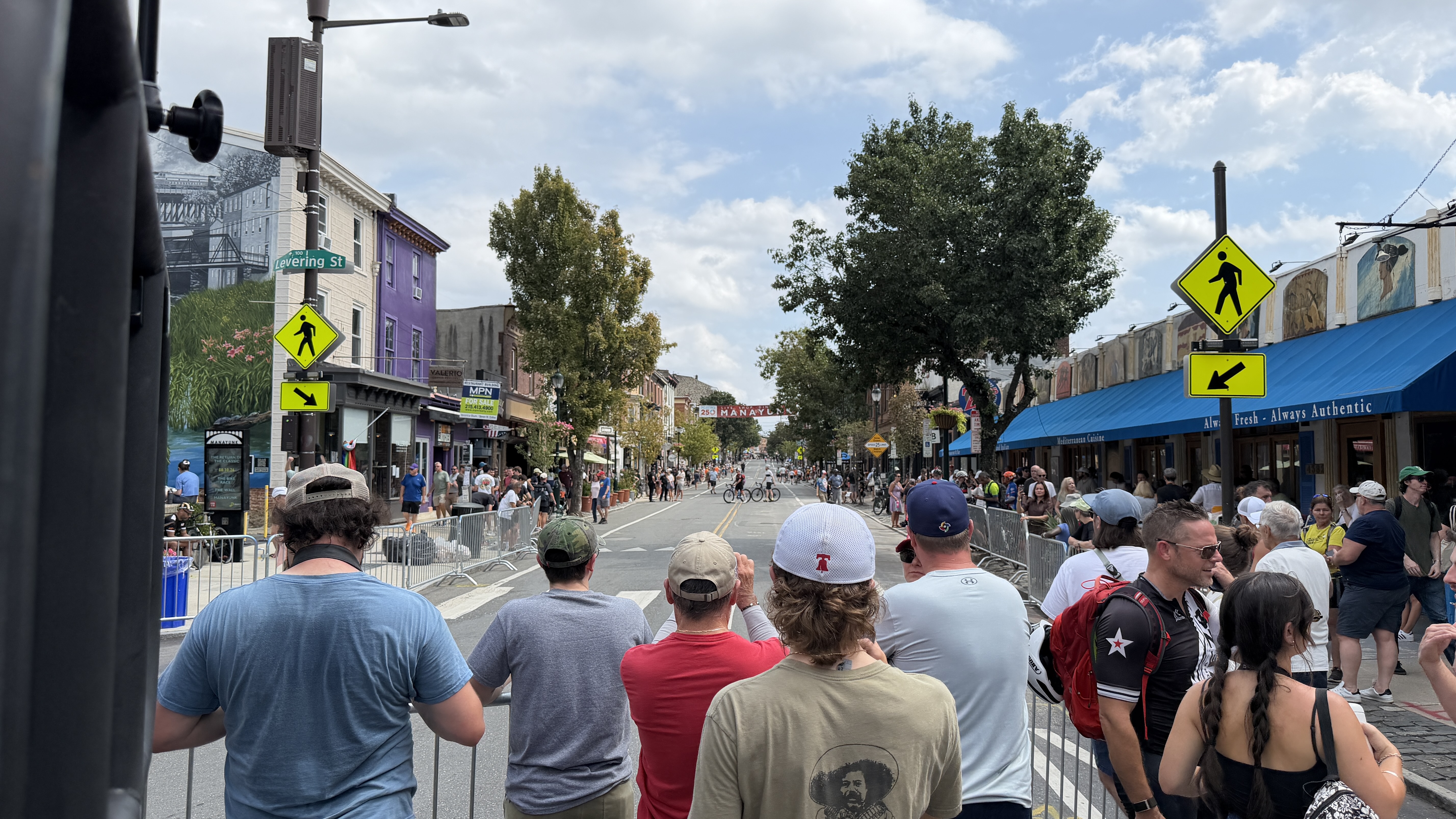
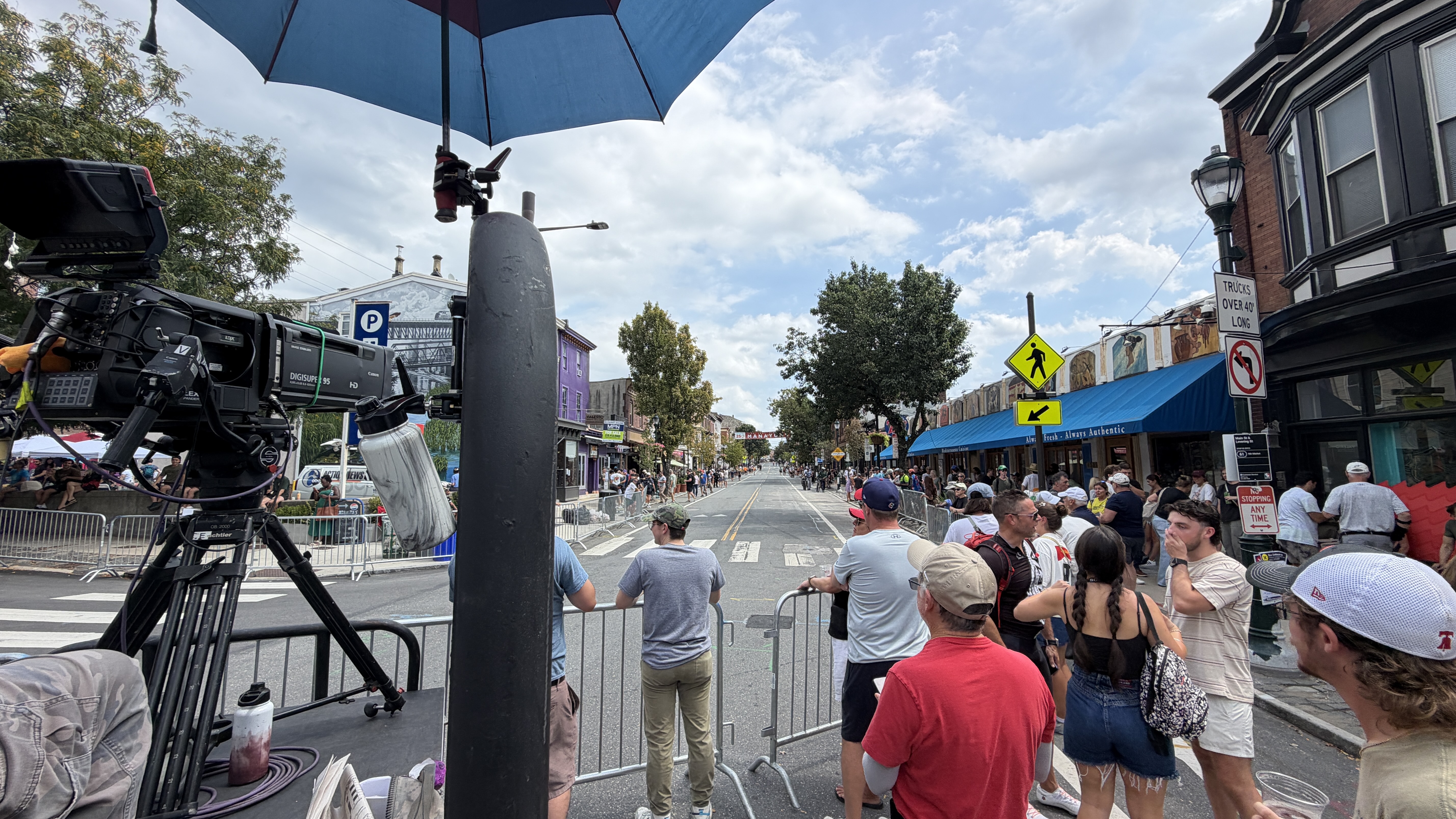
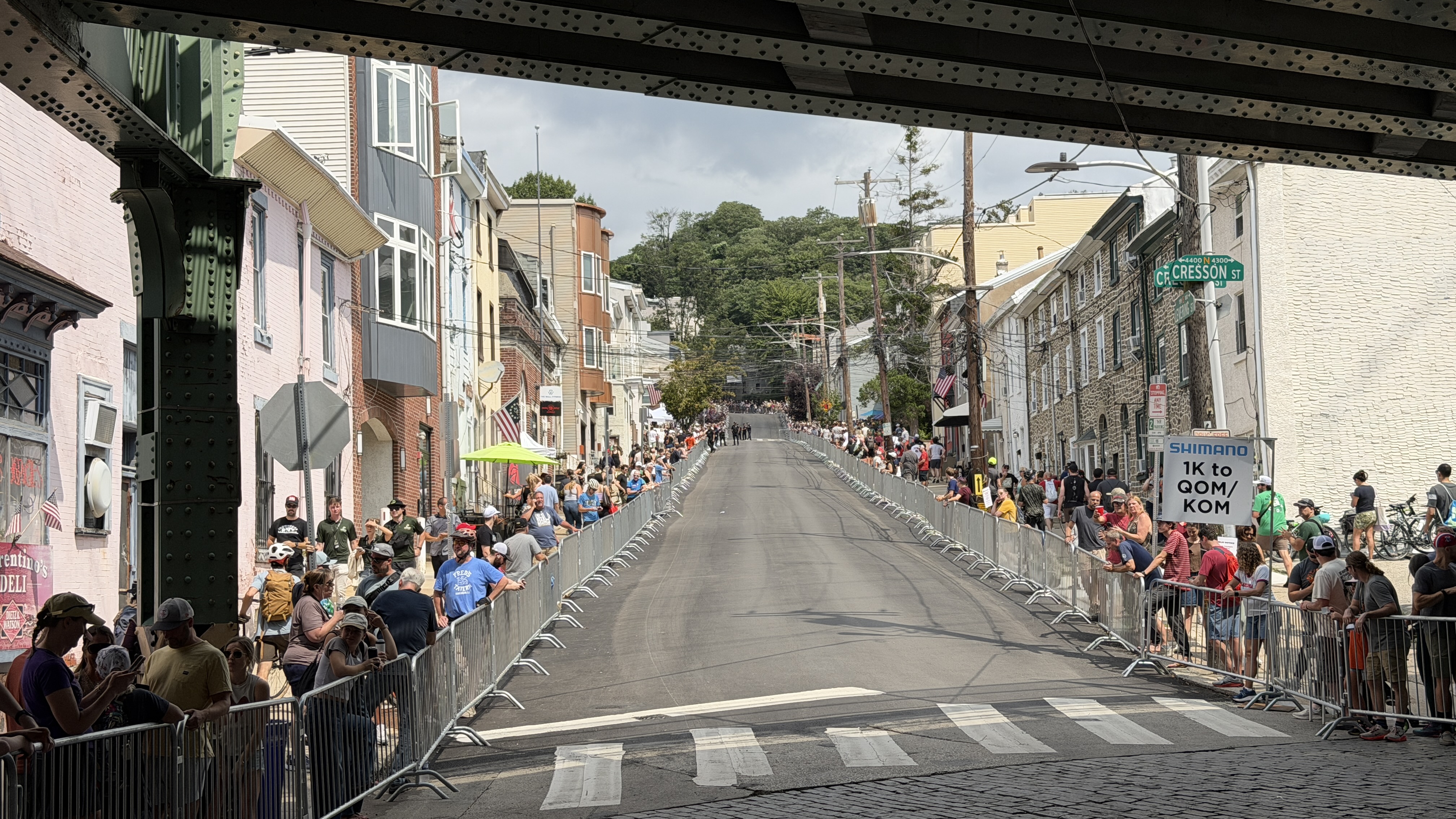
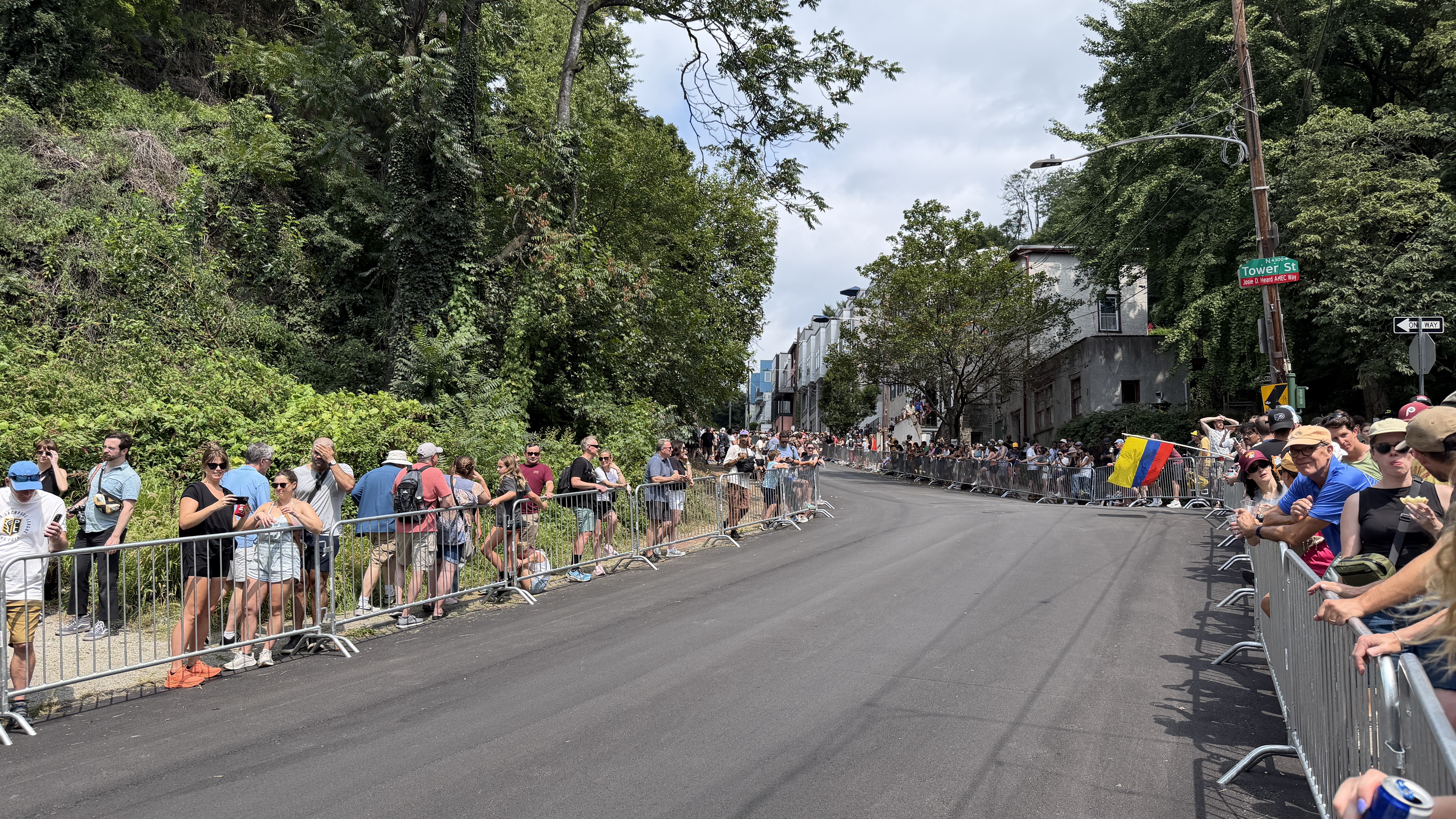
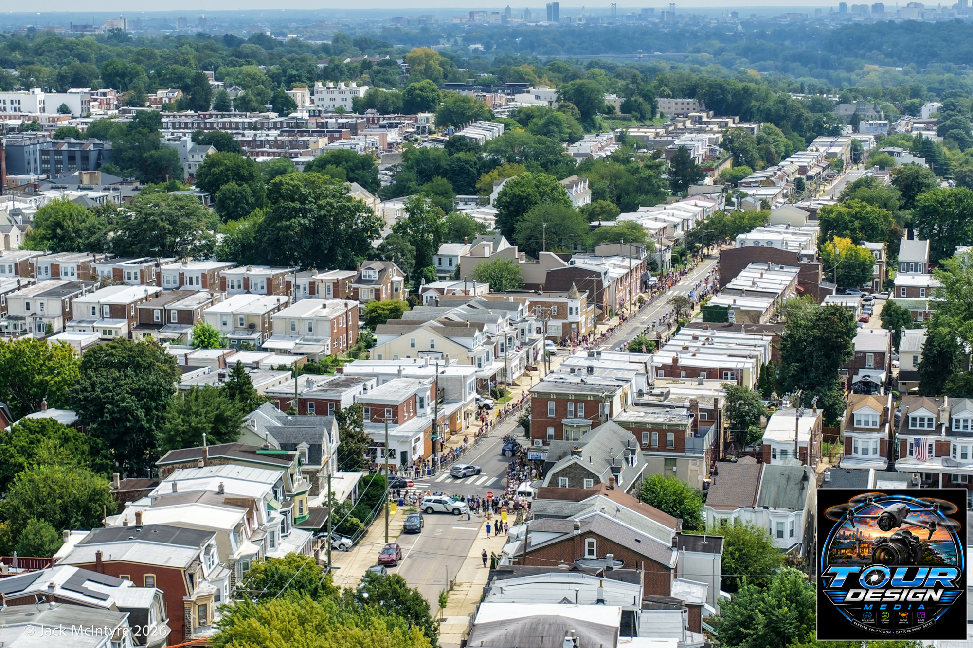
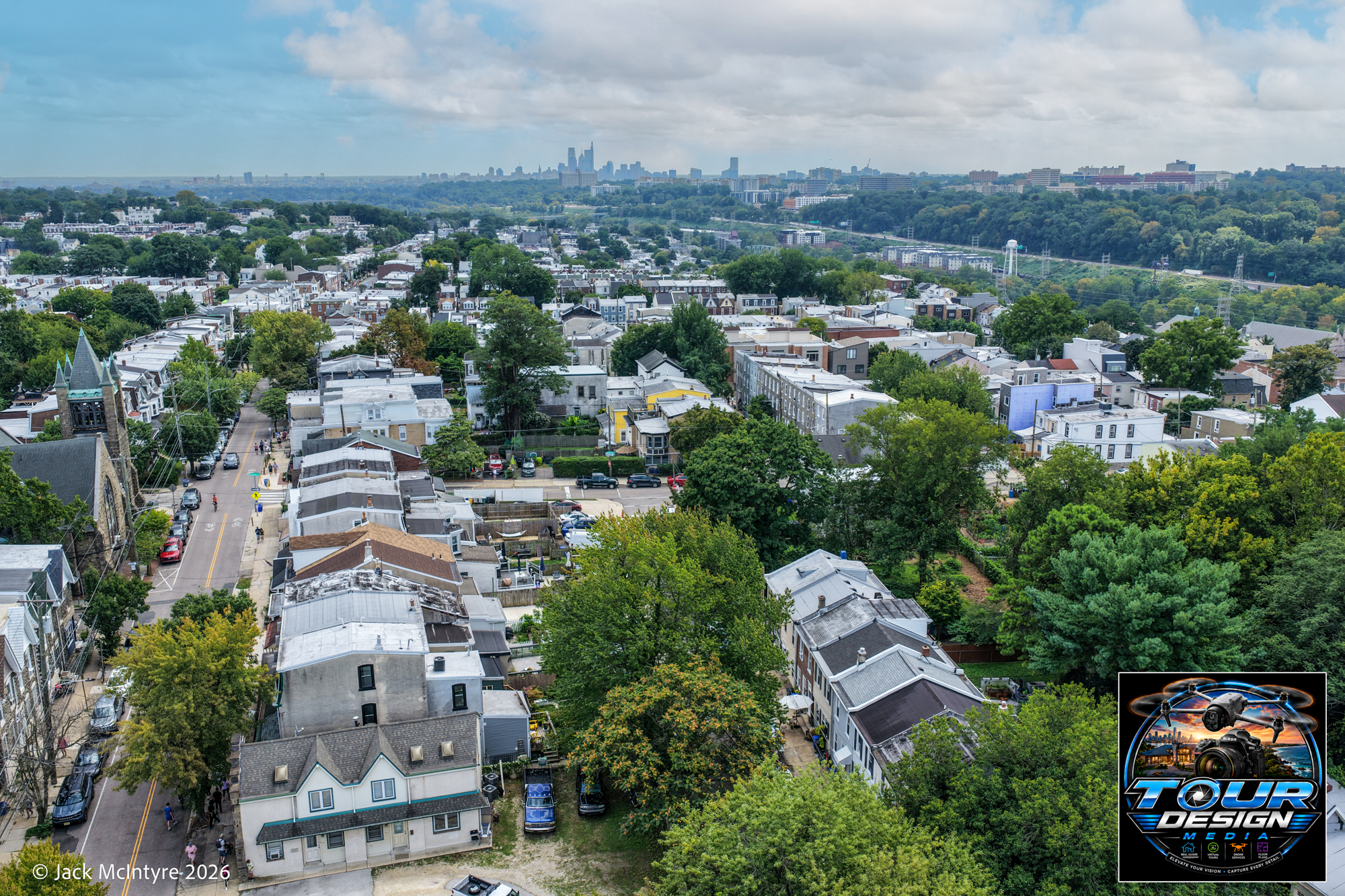
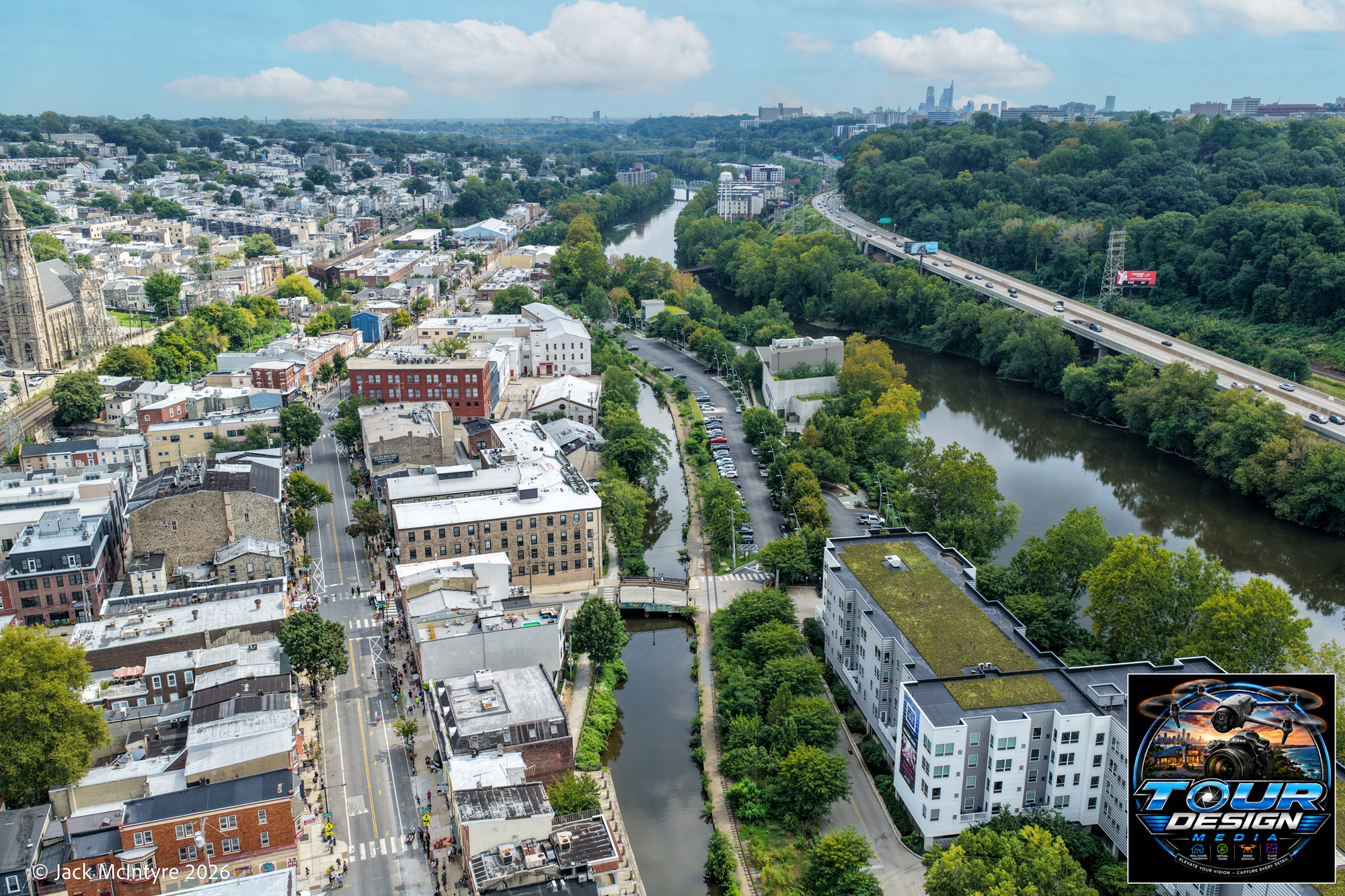
The Philadelphia Cycling Classic is one of those events that reminds you just how incredible this city can look when the streets come alive. From the crowds lining the course to the riders pushing through the neighborhoods, Philadelphia put on a pretty amazing show, and from above, the city looked absolutely beautiful for the rest of the world to see.

I’ll get back to the more “business-like” posts soon, but these last two posts were really just about me getting out there, flying the drone, enjoying the view, and practicing my craft. Sometimes it’s good to forget about the job for a little while and simply enjoy creating images.

Enjoy the pics from this very cool day.

70 MPH on Manayunk Ave
The beginning of the “WALL”
The Top of Manayunk AVe.

Just fun stuff… back to business shortly.

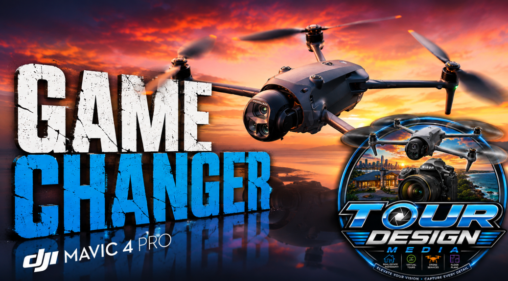
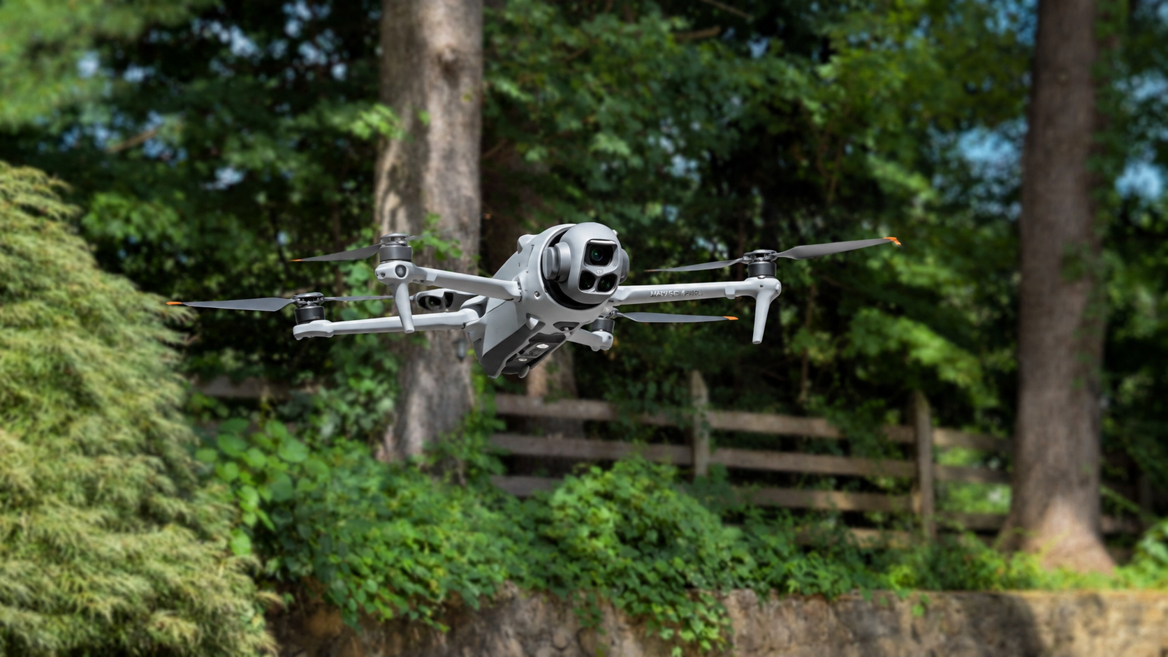
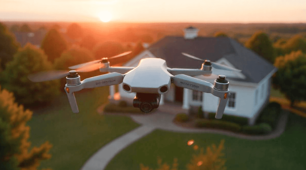
So, why did I upgrade to the DJI Mavic 4 Pro?

Simple… because my clients deserve the very best.

Don’t get me wrong, I could have happily continued flying my DJI Mini drones. They’re outstanding aircraft that have produced thousands of incredible images. But the moment I put the Mavic 4 Pro in the air, I knew this was an entirely different league. The image quality is nothing short of breathtaking, and if there’s a way to deliver sharper, richer, and more dramatic aerial photography, I’m all in.

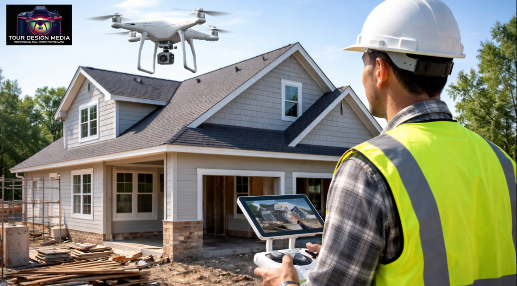
Today, every real estate listing, construction progress shoot, roof inspection, commercial project, and aerial assignment I photograph benefits from this incredible technology.

Continue reading So, why did I upgrade to the DJI Mavic 4 Pro?

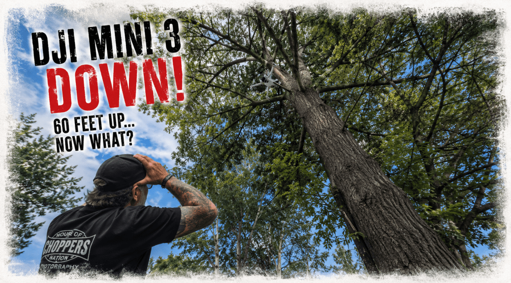
DJI Mini 3 vs. One Very Tall Tree

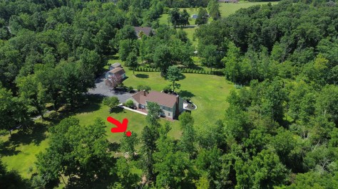
Every now and then a day behind the camera turns into a story you’ll be telling for years. A few days ago, while photographing a beautiful property here in Pennsylvania, I was flying my trusty DJI Mini 3 to capture the exterior aerials. It’s a drone that has never let me down, but this time the problem wasn’t the drone, it was me. I had charged my batteries the night before, but the battery I had installed hadn’t fully charged, it was the battery from the day before. Halfway through photographing the front of the property, the drone warned me that it was returning home due to low battery. Unfortunately, with the power level dropping, it also lost its obstacle avoidance and clipped the top of a tree that had to be at least sixty feet tall. After several anxious minutes searching through a sea of green leaves, I finally spotted a tiny patch of gray tucked high in the branches.

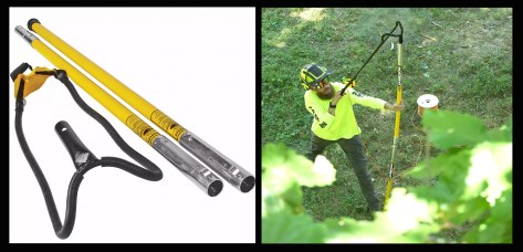
The homeowner couldn’t have been more helpful. I asked if he happened to have an extension pole, and sure enough, he did, but even the longest one in his garage wasn’t nearly long enough. Then he smiled and disappeared for a moment before returning with what looked like a cross between a slingshot and a crossbow. It was actually a professional tree-line launcher designed to fire a weighted line over high branches so they can be pulled down. After a handful of attempts, he perfectly looped the branch holding my drone, gave it a tug, and down came my Mini 3.

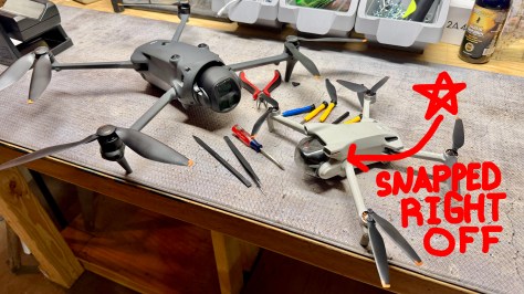
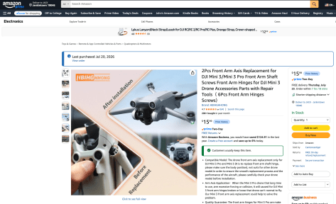
The landing wasn’t exactly graceful. The front-right arm had separated from the body, and at first glance I figured the drone’s flying days were over. But later that evening, after a careful inspection, I realized the damage was surprisingly minor. A small plastic mechanism inside the arm had broken away, and it appeared to be designed as a replaceable component rather than forcing owners to replace the entire drone. A quick search on Amazon for DJI Mini 3 replacement parts confirmed it, the exact arm assembly was readily available. The repair was straightforward, the replacement fit perfectly, and before long my little Mini 3 was back in the air doing what it does best.

Looking back, I probably should have stopped to photograph the whole rescue operation because it would’ve made for some great behind-the-scenes content. But at the time, I was more concerned with getting the drone down than asking even more of the homeowner, who had already gone above and beyond to help. In the end, it was a valuable reminder to always double-check your batteries before takeoff… and that sometimes a good homeowner with an incredible tree slingshot can save the day.

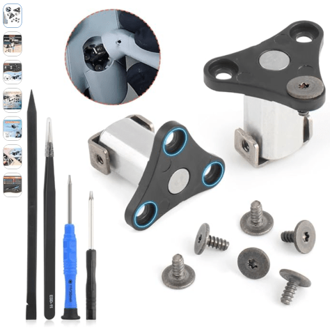
If this happens to you, don’t panic, the $15 dollar part below saved the day & it was very easy to install, plus, it came with the tools. Can’t beat that…

TOUR DESIGN MEDIA – DRONE PROPERTY INSPECTION

Just a quick note below regarding our Drone Property Inspection services & please take not that I have added in bold letters the importance of using FAA Part 107 Certified Pilots, it’s crucial to do so.

Service Area: Montgomery / Bucks / Chester / Philadelphia, and Lehigh Counties Pennsylvania along with Central and Southern New Jersey.

Company Overview

Tour Design Media provides professional aerial property inspection services for insurance underwriting, renewal, and claims documentation.

We operate with two FAA Part 107 certified pilots and focus on residential and commercial buildings.

Inspection Services

• Residential roof inspections

• Commercial and light industrial buildings

• Pre-bind & renewal inspections

• Post-loss and storm damage documentation

• Chimneys, skylights, flashing, drainage systems

Why Insurers Choose Drone Inspections

• Eliminates ladder and roof-walk risk

• Faster inspections with minimal disruption

• High-resolution, GPS- and date-stamped imagery

• OSHA risk mitigation through remote inspection

• Local rapid-response availability

Deliverables

• 20–60 high-resolution aerial images

• Full roof overview imagery

• Damage identification & annotations

• Secure digital delivery

• 24–48 hour turnaround (standard)

Compliance & Insurance

FAA Part 107 Certified Remote Pilots

• $1M Aviation Liability Insurance

• $1M General Liability Insurance

• Fully insured professional operations

Contact

Jack McIntyre

Tour Design Media

[610-636-5848] | [tourdesignmedia@gmail.com]
Show off that amazing location.

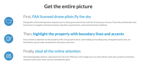
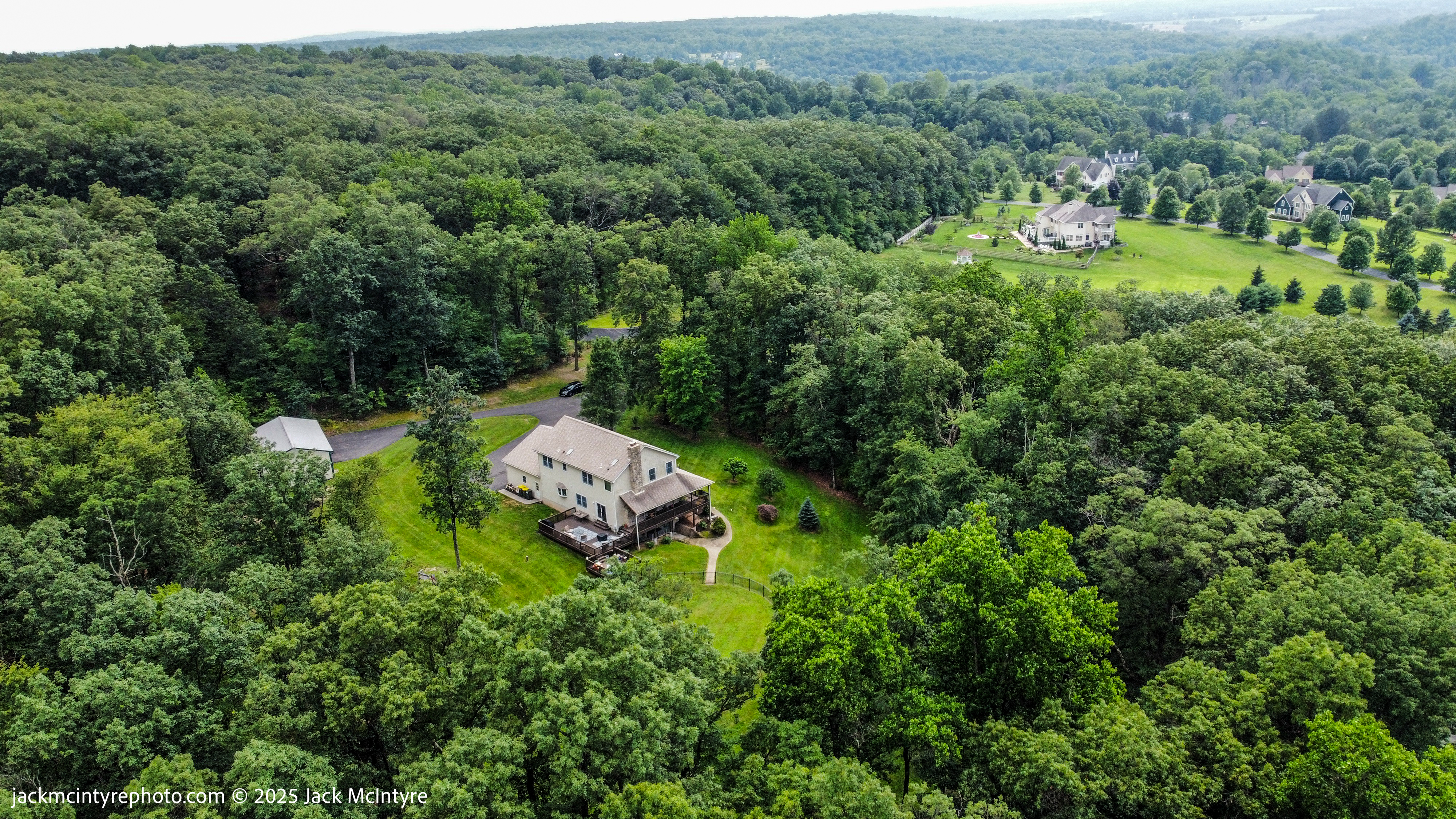
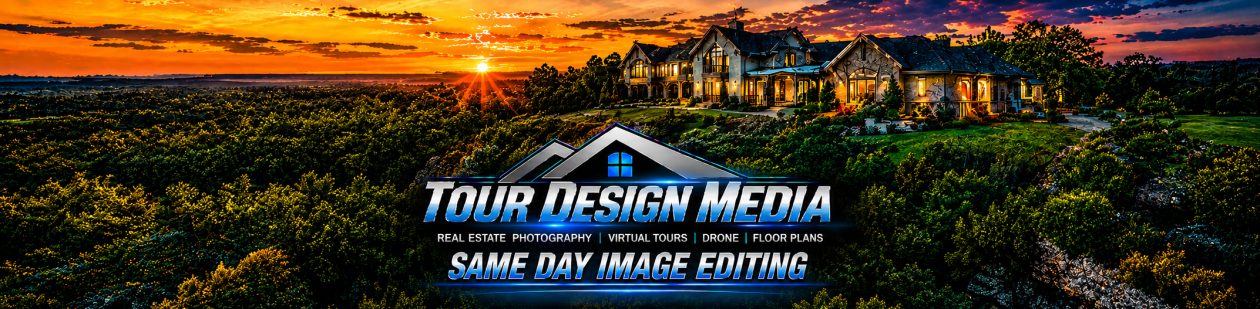
Buyers want to see the big picture. They want a bird’s eye view and to take it all in. Grab their attention by showing the property’s unique features, location, and surrounding hot spots.

Contact us below to set up a drone shoot or email us directly at tourdesignmedia@gmail.com.

← Back

Thank you for your response. ✨

Elegant Kitchen Design and Custom Addition Progress Shots by Drone

Post & Images by Jack McIntyre

Every so often, we’re presented with opportunities too good to pass up. In this post, we traveled to New Jersey to photograph a stunning kitchen, then headed to Bryn Mawr with our drone to capture the progress of a beautiful new addition on a classic stone home.

Details matter. As you browse the images below, you’ll notice thoughtful design at every angle—from the family crest etched on a glass sliding door, to the dual wine fridge with dedicated martini glass freezer drawers, and so much more. I’ll let the photos speak for themselves—enjoy. This masterpiece was the vision of the owner with careful guidance from Cameo Consulting, LLC. They know the custom contractors to handle your custom needs so be sure to contact Claudia Affannato at cja428@comcast.net.

Continue reading Elegant Kitchen Design and Custom Addition Progress Shots by Drone

Drone Inspection & Property Monitoring Service using Images

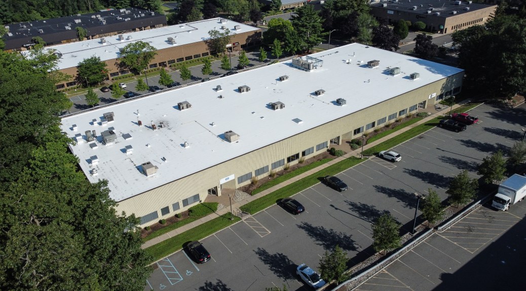
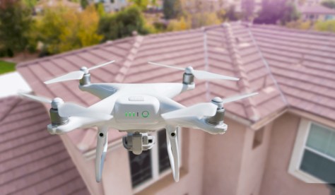
We provide drone-based photography for inspections for residential and commercial properties. Our high-resolution drone technology offers a safe, efficient, and cost-effective alternative to traditional inspections that typically require climbing ladders or accessing hard-to-reach areas. You know what you are looking at, we provide the detailed images to help spot any upcoming issues.

What We Do:

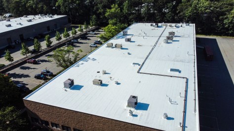
  • Roof Images for Inspections: Quickly and thoroughly examine roofing conditions for damage, wear, or leaks—ideal after storms or before buying/selling a property.
  • Gutter Images for Assessments: Check for clogs, debris buildup, or damage without having to physically access the gutters.
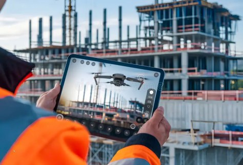
  • Images for Property Surveillance & Monitoring: Capture detailed aerial images to track changes over time—perfect for seasonal comparisons, construction progress, or security monitoring.
  • General High-Angle Imaging: View chimneys, skylights, solar panels, or any elevated structure safely from the ground.

Why Use Our Drone Services?

  • 🛡️ Enhanced Safety: No ladders, no risk—drones eliminate the need for climbing or sending inspectors onto roofs.
  • ⚡ Fast Turnaround: We can complete inspections in a fraction of the time of manual methods.
  • 🎯 High Accuracy: Crystal-clear aerial photos and videos help pinpoint issues that might be missed from the ground.
  • 💼 Professional Reports: Get organized visual images for insurance claims, maintenance plans, or real estate listings.

Whether you’re a homeowner, property manager, contractor, or real estate agent, our drone services help you stay informed, reduce risks, and make better decisions—without ever leaving the ground.

Contact us for more or any questions. EMAIL

← Back

Thank you for your response. ✨

DRONE VIDEO / PHOTOGRAPHY FOR BUILDING INSPECTION

Drone usage for insurance and building inspections has become increasingly important due to its efficiency, safety, and ability to capture detailed data. Here’s a breakdown of the need and benefits:


1. Enhanced Safety

  • Reduced risk to personnel: Inspectors avoid climbing ladders, scaffolding, or navigating hazardous rooftops.
  • Access to hard-to-reach areas: Drones can easily reach high, steep, or unstable structures (e.g., tall buildings, towers, damaged roofs).

2. Cost Efficiency

  • Lower inspection costs: Eliminates the need for heavy equipment like cranes or scaffolding.
  • Faster turnaround: Drones can cover large or complex sites quickly, reducing labor time.

3. High-Quality Visual Data

  • Detailed imaging: High-resolution cameras and thermal sensors provide clear visuals for assessing damage or wear.
  • Live feeds and recording: Insurers and inspectors can observe real-time footage or review later for better decision-making.

4. Improved Documentation

  • Accurate records: GPS-tagged imagery and video create a visual record of building conditions.
  • Supports claims: Visual evidence helps insurance companies validate and process claims more efficiently.

5. Rapid Disaster Assessment

  • Post-event inspections: After events like storms, fires, or earthquakes, drones can quickly assess damage without endangering personnel.
  • Triage large areas: Ideal for wide-scale assessments following natural disasters.

6. Regulatory and Maintenance Compliance

  • Routine checks: Drones help ensure ongoing compliance with safety codes and maintenance schedules.
  • Detect minor issues early: Prevents escalation by identifying cracks, leaks, or structural weaknesses early.

Use Cases in Practice

  • Insurance claims verification (e.g., hail or storm damage)
  • Construction progress monitoring
  • Facade and roof inspections
  • Solar panel checks
  • Post-fire or flood assessments

Drones are transforming how building inspections and insurance assessments are conducted—making them safer, faster, more accurate, and cost-effective. As technology continues to improve, their role in these sectors will only grow.

Feel free to send us a message using the contact form below, or, email us and we will get back to you immediately for any need you may have.

← Back

Thank you for your response. ✨

Capturing the Best Real Estate Aerial Photos.

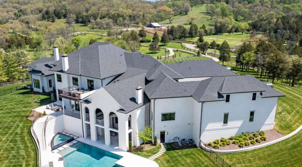
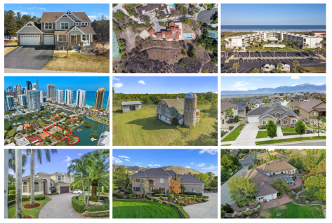
Aerial real estate photography involves capturing images of a property from elevated angles, typically using drones or aircraft. These photos provide a bird’s-eye view of the home and surrounding area, giving potential buyers a unique and comprehensive perspective that ground-level photos can’t offer.


🚁 What Is Included in Aerial Real Estate Photography?

  • Overhead shots of the entire property, including landscaping, roof condition, driveways, and pools.
  • Neighborhood context, showing proximity to parks, schools, waterfronts, or downtown areas.
  • 360-degree drone views or flyover videos (in some cases).
  • Property boundaries and lot size visualization (helpful for large parcels or rural properties).

💡 How Aerial Photography Benefits a Realtor’s Effort to Sell a Home:

1. Showcases the Full Property

  • Great for large lots, farms, estates, or homes with significant landscaping or outdoor features.
  • Helps buyers see the scale and layout of the property more clearly.

2. Highlights Location Advantages

  • It may shows the nearby amenities depending on the request (e.g. beaches, golf courses, schools, city centers).
  • Emphasizes privacy, scenic views, or unique positioning (e.g. corner lot, cul-de-sac).

3. Creates Visual Impact

  • Drone photos are eye-catching and differentiate the listing from others.
  • Helps listings stand out on websites, social media, and marketing materials.

4. Builds Buyer Confidence

  • Aerial shots show transparency—buyers can assess roof condition, lot size, and surroundings.
  • Useful for out-of-town buyers who may rely heavily on visuals before visiting.

5. Enhances Storytelling in Marketing

  • When paired with high-resolution interior photography and video tours, aerial imagery contributes to a compelling, complete narrative about the home.

6. Supports Premium Branding

  • Suggests the listing is high-end or unique, which can justify higher asking prices and attract serious buyers.
  • Builds the realtor’s personal brand as someone who invests in quality, modern marketing tools.

🏆

Aerial real estate photography gives buyers the full picture—literally. It allows them to see not just the home, but how it fits into its surroundings, offering an elevated perspective that builds interest and trust. For realtors, it’s a powerful tool to make listings stand out, market properties more effectively, and close deals faster—especially for premium, rural, or large-lot homes.

Feel free to send us a message using the contact form below, or, email us.

← Back

Thank you for your response. ✨